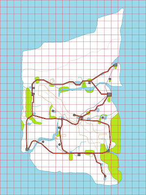
Work on the map continues apace, with more and more of the details being redrawn/overdrawn in colour.

Now that the main features have been added to the map (e.g. the locations of the towns and settlements, the rivers, the main roads, the hills and mountains etc.), further refinements will need to be made. This may require some changes to the original colours used, and the addition of slightly more detail so that it is easier to identify the differences between jungle, marsh/swamp, oasis, and bush.
This will be more time-consuming that might be expected, but I feel that I am now 'over the hump' with regard to completing this project.


.jpeg)


Hi Bob,
ReplyDeleteYour Map is coming along nicely- yes, telling the differences between jungle, marsh/swamp,oasis and bush- will be interesting how you do this- perhaps a 'Color KEY'? Best Wishes. KEV.
Kev Robertson (Kev),
DeleteIt’s my intention to use a colour key. I’m currently experimenting with different colours for each type of terrain.
All the best,
Bob