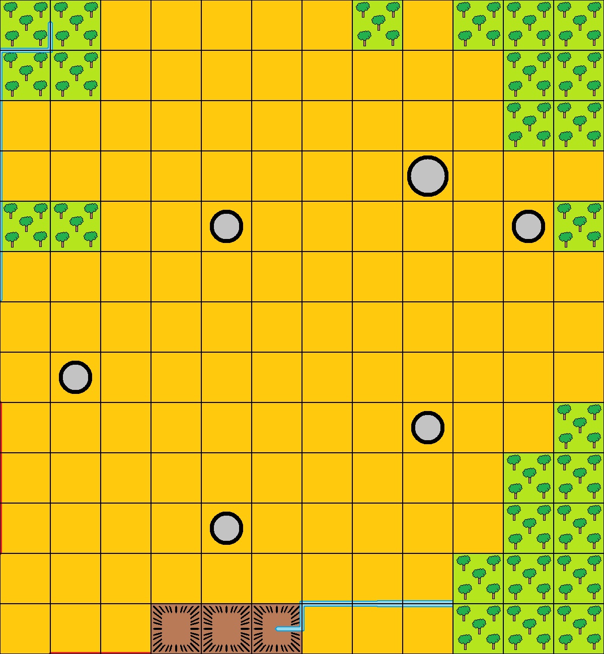
Over the past few days I have been working on my own version of Waddington’s CAMPAIGN map/game board, and it presently looks like this:

Most of the terrain fits quite easily into the squared grid, but the rivers and borders, which tend not to conform to the grid, presented me with problems. I tried drawing freehand, but however careful I was, they just didn’t look right.
In the end I decided to depict both the rivers and borders as straight lines that run along or at a right angle to the edges of the grid squares. I know that this is a compromise and will not appeal to everyone, but it is the best solution that I could come up with.
France

Prussia

Russia
Spain
Italy

Austria

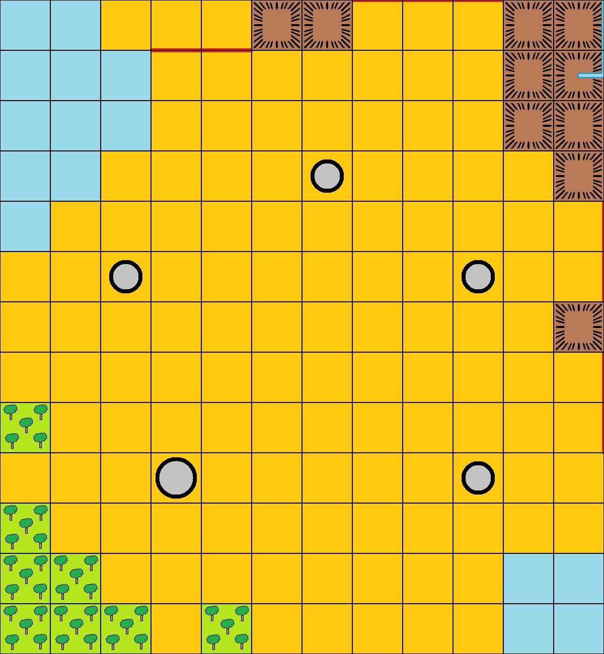
You will also note that I have yet to add any place names, but I intend to once I am totally happy with my version of Waddington's original map/game board.
All the above maps can be enlarged by clicking on them. They are all in JPEG format, but I hope to make them available in other formats as and when I can. I give permission for blog readers to download and use these maps for their own personal use, but not for distribution for commercial purposes.


It is unfortunate that real rivers do not snap to a grid! Your solution seems to be a comfortable compromise for the campaign.
ReplyDeleteEl Grego,
DeleteI did draw a version of the map/game board with wriggly rivers and borders … but it didn’t look right. I suppose it comes down to a choice between realism or playability … and in this case, I’m firmly in the playability camp.
All the best,
Bob
So, there are no roads to these campaign maps? I see that isn't the case with the commercial ones.
ReplyDeleteChris,
DeleteI have looked at both the first and second editions of the map/game boards from Waddington's CAMPAIGN game, and neither have any roads marked on them. Have you found a version that does? if you have, I'd be very interested to see a copy.
All the best,
Bob
All 4 line up together? Clever. 😀
ReplyDeleteStew,
DeleteYes, they do! I drew the larger map using MS Paint and then ‘cut’ out each country’s section of the map/game board.
All the best,
Bob
I'd argue that at this scale, any lack of straightness in a real river is insignificant, so straight lines are reasonable.
ReplyDeleteOh, and I had totally forgotten that Prussia and Italy have only four cities each!
Nundanket,
DeleteYour comment about rivers explains my thinking better than I could have expressed it … and Prussia should have five cities! I realised that I had missed Stettin off my map after writing yesterday’s blog post and will be rectifying that omission later this morning.
All the best,
Bob